Showing posts with label West Leg. Show all posts

Wednesday, April 04, 2007

I-66 West Leg Future?


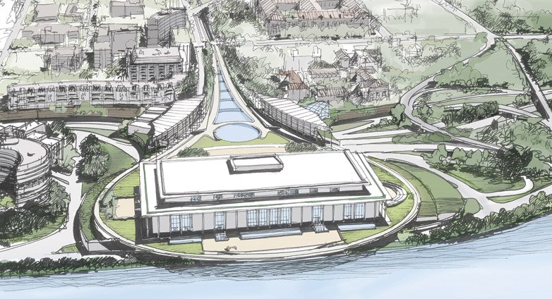
This proposed project would construct a deck over D.C. I-66 in front of the John F. Kennedy Center for the Performing Arts at the interchange with the E Street Expressway.

The concept appeared in the 1996-97 NCPC planning publications "Extending the Legacy: Planning America's Capital for the 21st Century" for "air rights" atop this segment of D.C. I-66.

The more recent study included numerous options, all of which treat it as a heavily truncated system.

The design reduces potential capacity to the south by placing its underground parking alongside rather then atop I-66 on its existing grade. (A proper below ground design would instead drop the I-66 grade to sandwich the parking between I-66 and the deck surface). Hence it includes no provisions for accommodating future extensions, at either end, whether for an I-695 South Leg (or conceivably a tunnel to Route 27 in Virginia), the previously planned I-66 K Street Tunnel, nor a deep drilled tunnel to the north, north-west, taking advantage of technological advances since, for a logically needed Northwest Freeway Tunnel.

This is despite calls -- or lip service -- from the federal government since September 11, 2001, for new evacuation routes from cities.

http://www.contextsensitivesolutions.org/content/reading/Kennedy_center/resources/kennedy_ea_summary/http://www.efl.fhwa.dot.gov/planning/kennedy/kennedy.pdf
http://testimony.ost.dot.gov/test/pasttest/02test/Peters4.htm


This project was recently de-funded.

Although clearly an improvement on the surface -- and representative of the proper concept of covering depressed highways -- it's underground portion needs extensive re-design to accommodate a comprehensive, primarily underground, Washington, D.C. motorway network.

DCist- Kennedy Center's Plaza Project Doomed?


Addendum- January 6, 2015:

Below is a design proposal - which is not my preference - from the "National Alliance to Restore Pride in America's Capital" (NARPAC) featuring a re-design of the I-66 West Leg to connect directly with the Rock Creek Parkway.


My preference would be partial ellipse park covered underground interchange somewhat akin to my Alexandria Orb proposal featured in the Alexandria Journal, connecting into a revived I-66 K Street Tunnel.


Sunday, March 18, 2007

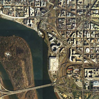
I-66 West Leg

I-66 West Leg
with Theodore Roosevelt Bridge at left,
E Street Expressway at right,
and Whitehurst Freeway at upper left


Image produced by National Capital Planning Commission for the Washington Geographic Information System. Distributed by VARGIS LLC of Herndon, VA.
The I-66 West Leg is that section of stranded freeway in Washington, D.C. that connects with the Constitution Avenue/Theodore Roosevelt Bridge, and runs roughly north-south past the J.F.K.Center for the Performing Arts and the Watergate complex, to end at its interchange with the Whitehurst Freeway and K Street, where its construction was segmented largely due to the planning uncertainties over the I-66 continuation and the I-266 project.

The project displaced 810 or more people (including the E Street Expressway and the approaches to the Theodore Roosevelt Bridge), based upon a May 1962 estimate by Highway Department estimates of a destruction of 160 dwelling units. House District Committee Hearings on "Accelerated D.C. Highway Program," p94 (1962) [from, Freeways and Our City: Transportation Facts; the Committee on Urban Conservation; Peter S. Craig, Sam Abbott and Martin Broffman, 1965]. As with the SW Freeway, the West Leg was accompanied by significant building demolition and replacement (re-development).

1955 Design:
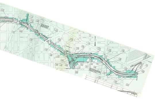
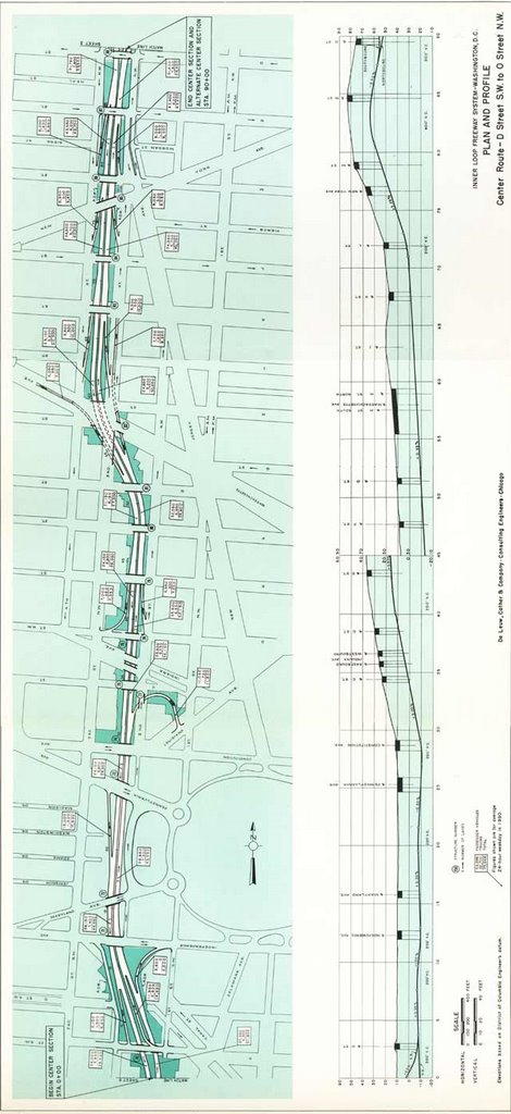
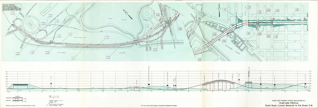
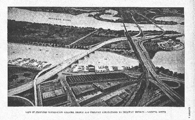
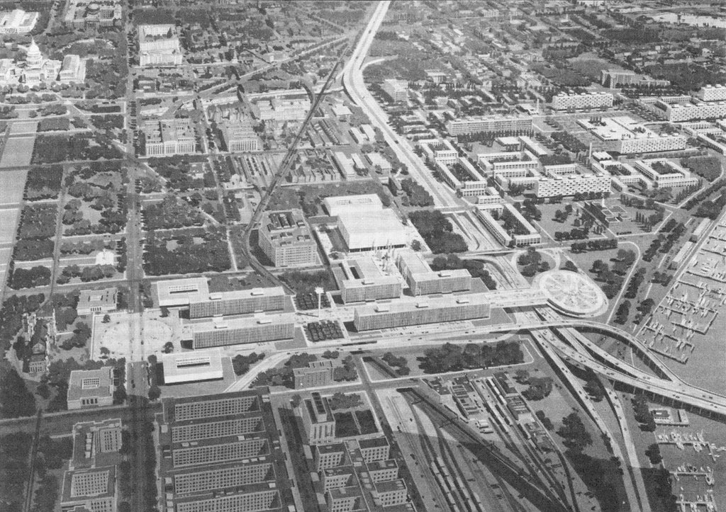
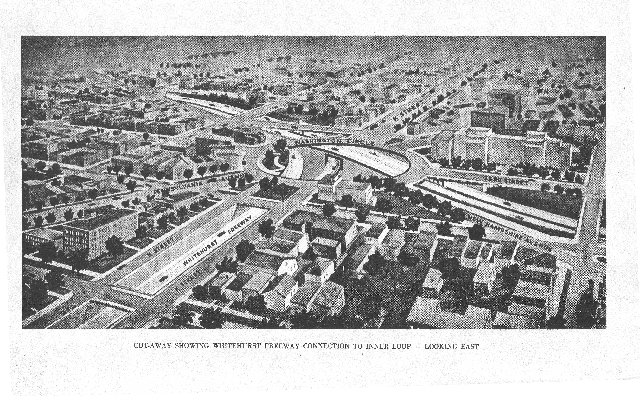
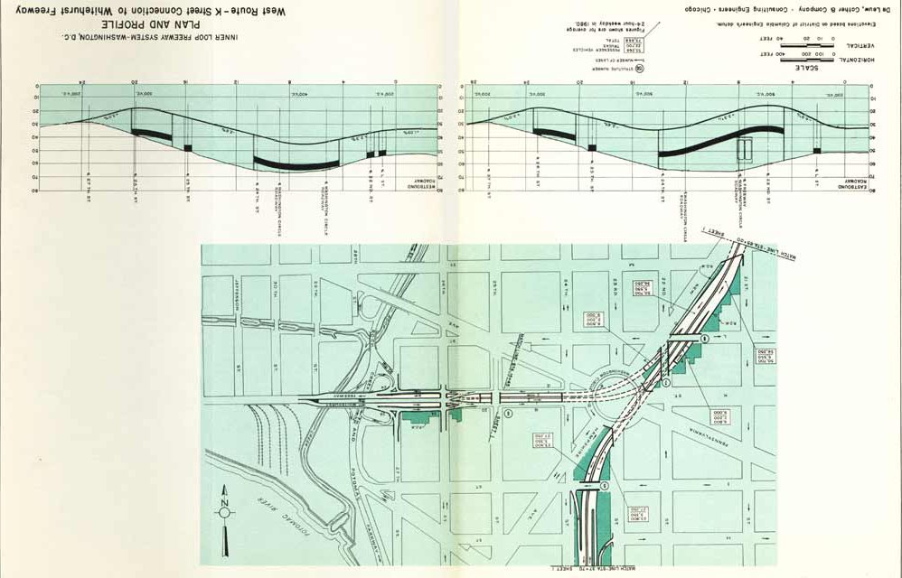
This may be seen at plates 1 and 2 at 1955-62 Plans. This included an underground interchange beneath Washington Circle connecting to the Whitehurst Freeway.

Plate 3 with the Whitehurst-West Leg underground interchange beneath Washington Circle


1957 Design:

The 1957 North West Freeway study "A Report of the study on the location of Interstate U.S. Route 240 Washington, D.C. June 1957" included a revision to the West Leg route that eliminated the underground interchange beneath Washington Circle, replacing it with an exposed interchange to the west, and with a due north-south route. I need a scan of that plan.

Subsequent Design:

The West Leg underwent at least a third design, as indicated by the curved route adopted for the project that underwent construction around 1963. I have not found anything on the story behind this curve which appears to exist primarily to bend this highway to avoid the building that now houses the Embassy of Saudi Arabia.

Friday, December 01, 2006

1955-62 Plans

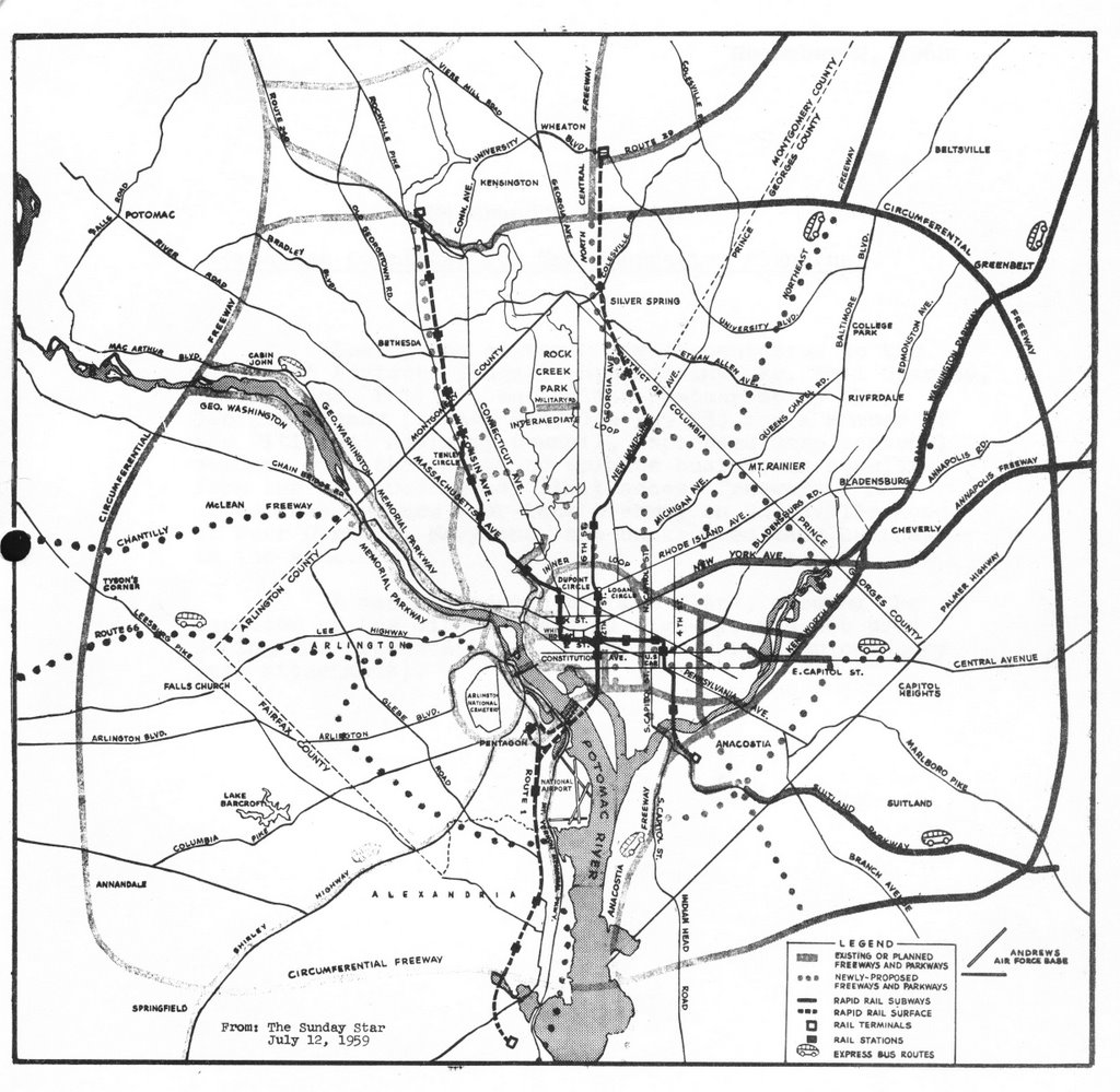
1959 Mass Transportation Plan

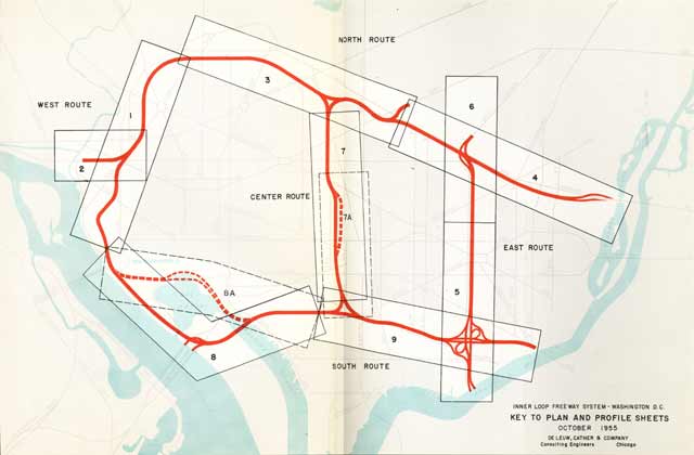
1955 Inner Loop Freeway Proposal


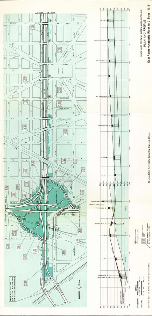
1955 Inner Loop Freeway Proposal Guide to Plates


Plate 1


Plate 2


Plate 3


Plate 4

Plate 6


Plate 5


Plate 7

Plate 7A


Plates 9a and 8
W

1955 Inner Loop Whitehurst - West Leg Interchange


1955 Inner Loop North Leg - East Leg Interchange

North Leg West


North Leg East


SW Freeway


1957 design West Leg interchange


1957 Route 240 Northwest Freeway
along Georgetown waterfront


1957 Route 240 Northwest Freeway
at Chain Bridge


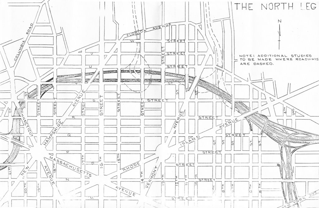
I-66 North Leg West with dotted lines indicating I-70S at 14th Street and the North Central Freeway at Sherman Avenue (note the tight spacing between these interchanges!)


1959

part tunneled east-west Cleveland Park I-70S segment-
west of Rock Creek Park


open depressed Mt. Pleasant I-70S segment-
east of Rock Creek Park


1960

This 1960 I-95 route could feed directly into the I-295 East Leg along 11th Street NE/SE.


1961

A 1961 rendering of the SW/SE Freeway, with unadopted route for SE Freeway along southern side of railroad.

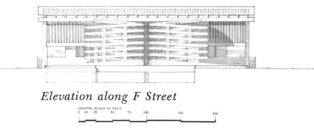
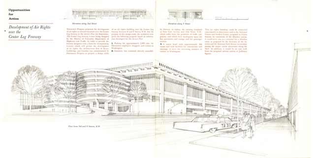
A 1961 rendering of a proposed parking garage atop the Center Leg at F Street NW