Showing posts with label Wisconsin Avenue. Show all posts

Friday, May 21, 2010

Inside The Beltway Wisconsin Avenue Grade Separation!

Now being officially proposed:
http://www.montgomerycountymd.gov/content/exec/brac/pdf/mcdot_crossingproject-alt4-gradesep_diamondinterchange-051110.pdf

Would lower a portion of Route 355 Wisconsin Avenue.

How about one for the intersection to the south- perhaps with some urban deck?!

More on that here at Greater, Greater, Washington

Sunday, March 28, 2010

Eisenhower's Burning Tree Commute Desire?

An Eisenhower favorite hang out, immediately within the I-495 Capital Beltway


Recently a controversy emerged amongst historical researchers of Washington, D.C.’s truncated freeway system. It is centered upon claims that Dwight Eisenhower opposed urban freeways; these are based upon a story of his encountering freeway constructing in either in the NW area of Washington D.C. (which did not exist, e.g. the West Leg by the Kennedy Center started construction in 1961 or later) or just to the north of the construction of the circumferential Capital Beltway (which was under construction, though not an urban freeway). See the conversation thread here.

Perhaps seeing a portion of the Capital Beltway under construction through the Bethesda area inspired Eisenhower to think about these road’s right of way requirements- a thought making me ask if he ever questioned the use of eminent domain particularly as being used at the time of his Presidency in SW Washington, D.C. which leveled far more buildings then did the right of way for the SW Freeway which started construction by 1959.

The Eisenhower library papers cited indicate that he had misgivings about urban freeway planning, specifically that through the “congested parts of the city”, calling for a subsequent study: a fact pattern of the extensive freeway system of the 1959 ‘Mass Transportation Plan’ displacing the dwellings of some 33,000 people that fits with the subsequent U.S. Presidential Administration of John F. Kennedy’s November 1, 1962 report for a smaller though still continuous freeway system with I-66 and I-70S into, and I-95 through the District with far less negative local impacts.


However, what primary resources indicate that Eisenhower opposed urban freeways unequivocally? Deleting urban segments from the early stages of the construction of the national interstate highway system does not necessarily translate to never having urban segments, particularly as definitions of terms as ‘urban’ or ‘congested’ and conceptualizations of feasibility may vary, as can those of routing and design for reducing impacts?

Would Eisenhower agree, in the case of the Washington, D.C. area, of having I-95, I-66 and I-270 never extend within the Capital Beltway, nor favor today’s status quo of the past few decades of I-95, I-66 and the SE Freeway’s truncations?

The following suggests not.

Concerning the recent conversation about Eisenhower’s position on urban freeways, here’s what I just located, page 2 of a letter by Peter S. Craig (Gelman Library Special Collections)

The big question is who ‘in the White House’ is responsible for this pressure.

One member of the Executive Committee of the Northwest Committee for the transportation Planning reports that he heard the President himself wants the Wisconsin Avenue corridor because he was irritated by the traffic congestion in getting to Burning Tree Country Club.

All White House contacts should be pursued in an effort to pin down the source of pressure on Welling, Tallamy and others to push through the Wisconsin Avenue corridor routing.

A google search of ‘Burning Tree Country Club’ led me to this in Maryland, just outside NW Washington, D.C., and immediately inside the Capital Beltway segment between the western I-270 spur and the Potomac River.

It is something that comes up frequently in searches about Eisenhower, as he evidently spent a great deal of time there, as an avid golf enthusiast said to have played some 800 games throughout his 8 years as U.S. President, alongside many powerful people. Just 'google' the terms 'Dwight D. Eisenhower' with 'Burning Tree Country Club'.


Constructing the Wisconsin Avenue corridor segment of the NW Freeway, as planned in 1957 southwards from the Pooks Hill interchange of the eastern spur of today’s I-270 and the Capital Beltway – miles to just south of a set of cut and cover tunnel underpasses beneath Tenley Circle, would have displaced 74 houses within D.C., and an indeterminate number in Bethesda, Maryland, largely within the footprint of the WMATA induced re-development that leveled much of that downtown.

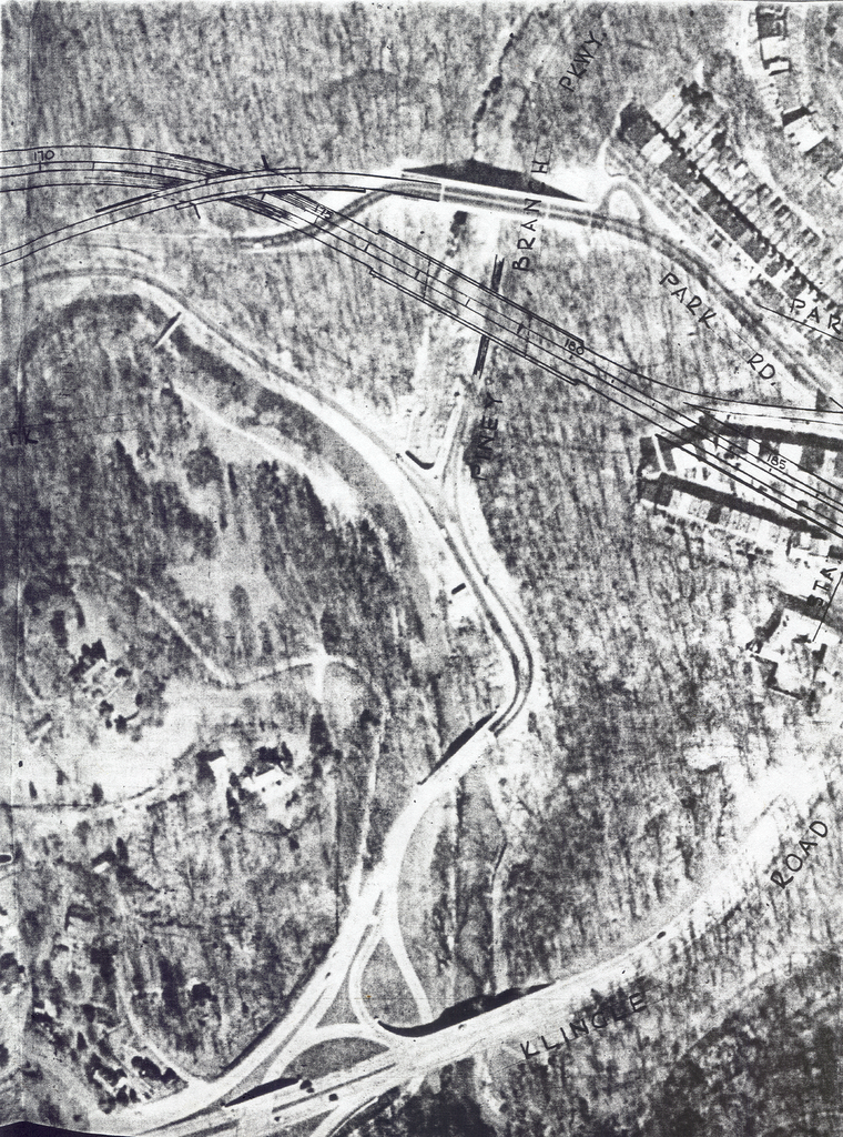
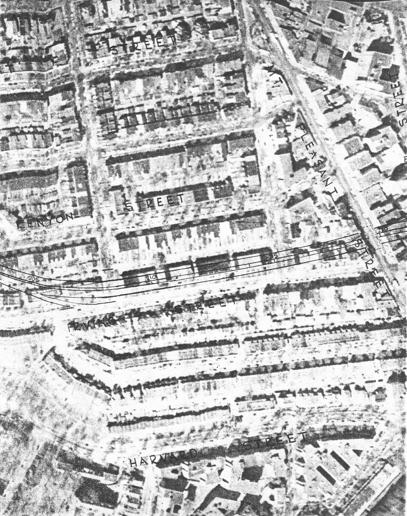
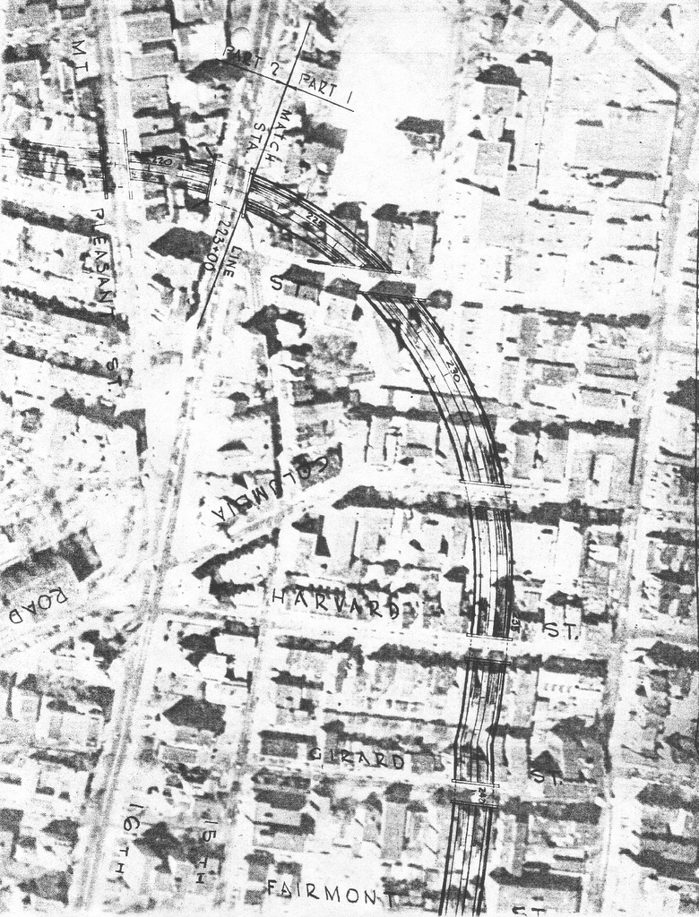
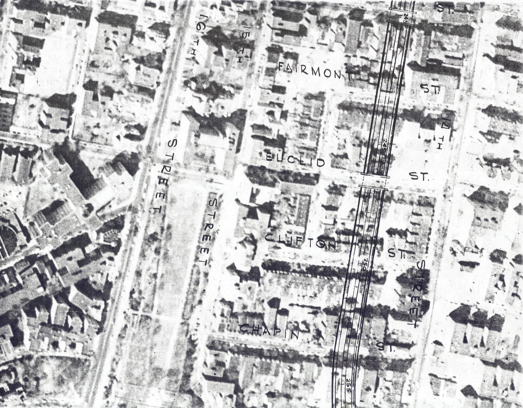
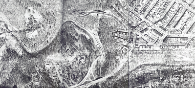
Responding to barriers further south of denser, older Georgetown, and the political ban upon routing via the Glover Archbold Park (with only a brief cir 1957 consideration of a ‘Cathedral Heights Tunnel’- details unknown to me other then it running somewhere near the National Cathedral), official planning by 1958-59 went with planning the NW Freeway’s southern segment as the ‘Cross Park Freeway’. This would swing due east from the Wisconsin Avenue corridor just before Fannie Mae, skirting the northern edge of the Sidwell Friends School-Cleveland Park area, crossing below Connecticut Avenue and across Rock Creek Park to the Mt Pleasant area along Fort Adams Road and Irving Place before turning south some 500 west parallel to 14th Street, meeting the east-west I-66 North Leg of the Inner Loop between T and U Streets.


Almost all of this plan’s building displacement would be to Rock Creek Park’s east, in Mt Pleasant. Yet all of the 1959 revisions re-specifying certain segments as tunnels would be to the west, with the depressed Fannie Mae-Sidwell Friends and Cleveland Park-Connecticut Avenue segments respectively as drilled and cut and cover tunnels, though to east, only considering the options of sloped embankments versus retaining walls, despite the denser development resulting in greater displacement and greater local separation by the addition of the uncovered freeway.


The opposition from to the west was instrumental in stopping the Cross Park Freeway planning (and indeed any freeway within NW D.C. west of 16th Street NW: the eastern edge of Rock Creek Park), namely that of Peter S. Craig, Cleveland Park resident, and railroad industry with the Washington, D.C. law firm Covington & Burling (co-founded in 1919 by railroad industry attorney Edward Burling), along with the ‘Committee of 100 on the Federal City’ (founded in 1924 upon the popular excitement about constructing the McMillian Plan’s West Mall-Lincoln Memorial, by Burling’s brother in law, Frederic Adrian Delano who sat on the original US Federal Reserve in 1914, and was uncle to 32nd U.S. President Franklin Delano Roosevelt).


Stopping the NW D.C. Freeway planning stopped any further design evolution – something conceivably advance able with the idea of a subsequent look at a deep drilled tunnel in the Cathedrial Heights general area and/or parallel to Glover-Archbold Park that would be significantly longer then that to skirt Sidwell Friends, though providing a significantly shorter direct route.

That would not necessarily stop freeway planning, with a faction from Bethesda pushing the idea of constructing the 1959 Mass Transportation system’s North Central Freeway along Georgia Avenue- an idea with far greater impacts then the 1959 NW – Cross Park Freeway.

Meanwhile another faction or factions favoring I-70S uphill parallel (via the former trolley right of way) to the Canal Road corridor- seemingly a more direct route from the White House to this Burning Tree Country Club.

Clearly there is far more to this story to discover.

Friday, December 01, 2006

1959 Northwest Freeway

I-70S at Friendship Heights, at the Maryland-District line

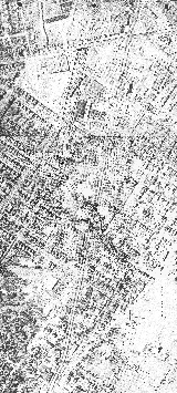
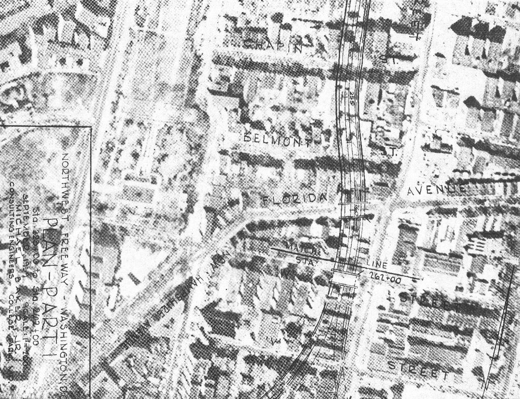
This was originally the left hand northern radial, west of the North and Northeast Freeways, appearing in the 1959 Mass Transportation Plan. It was to serve as the south or inside the Beltway extension of I-70S (today’s I-270) from its eastern spur’s connection with the Beltway at Pooks Hill, paralleling Wisconsin Avenue through downtown Bethesda, Maryland to Friendship Heights at the Maryland-District of Columbia line.

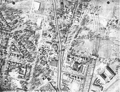
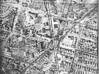
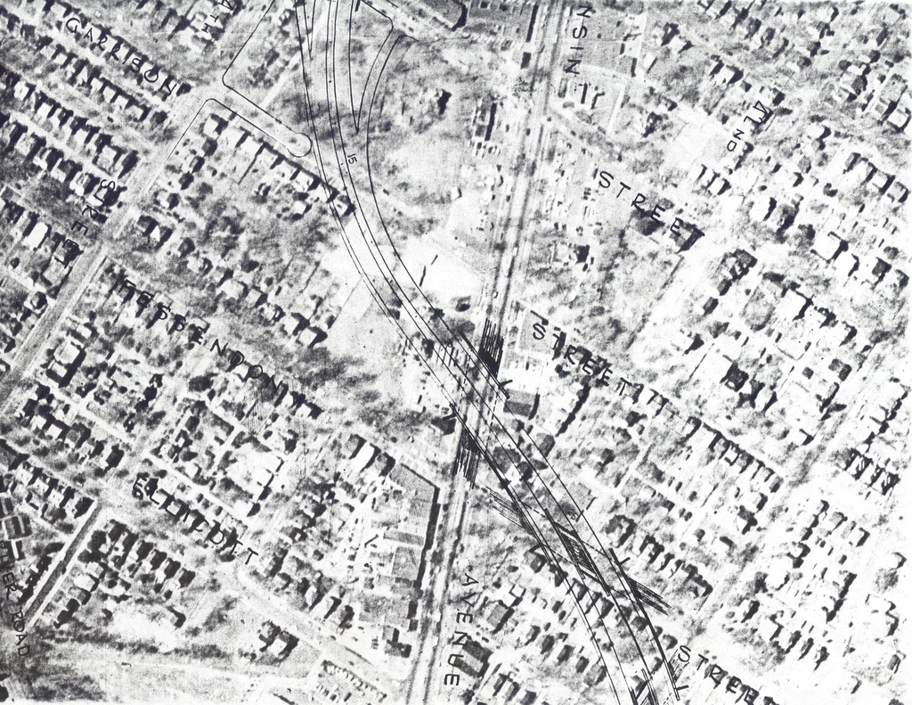
It would run about 500 west parallel to Wisconsin Avenue before crossing to its east at Fessington Street before turning south (today’s WMATA parking lot outlines a portion of this route) into a tunneled underpass beneath Tenley Circle.
Northern Wisconsin Avenue Corridor

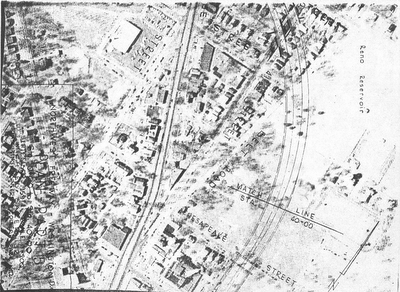
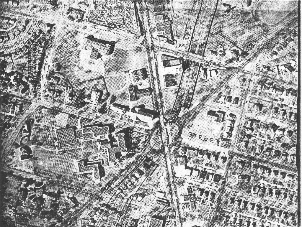
The Tenley Circle Tunnel was proposed earlier as a segment of the Fort Drive Parkway (Intermediate Loop, that would have continued south through Archibald-Glover Park to the Georgetown waterfront to continue with an expanded Whitehurst Freeway facility).
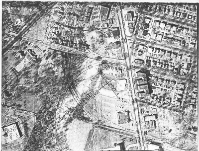
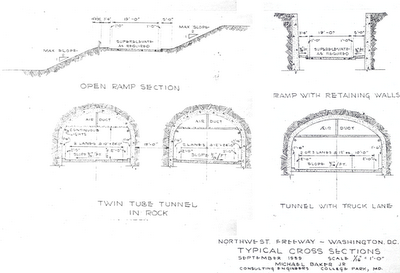
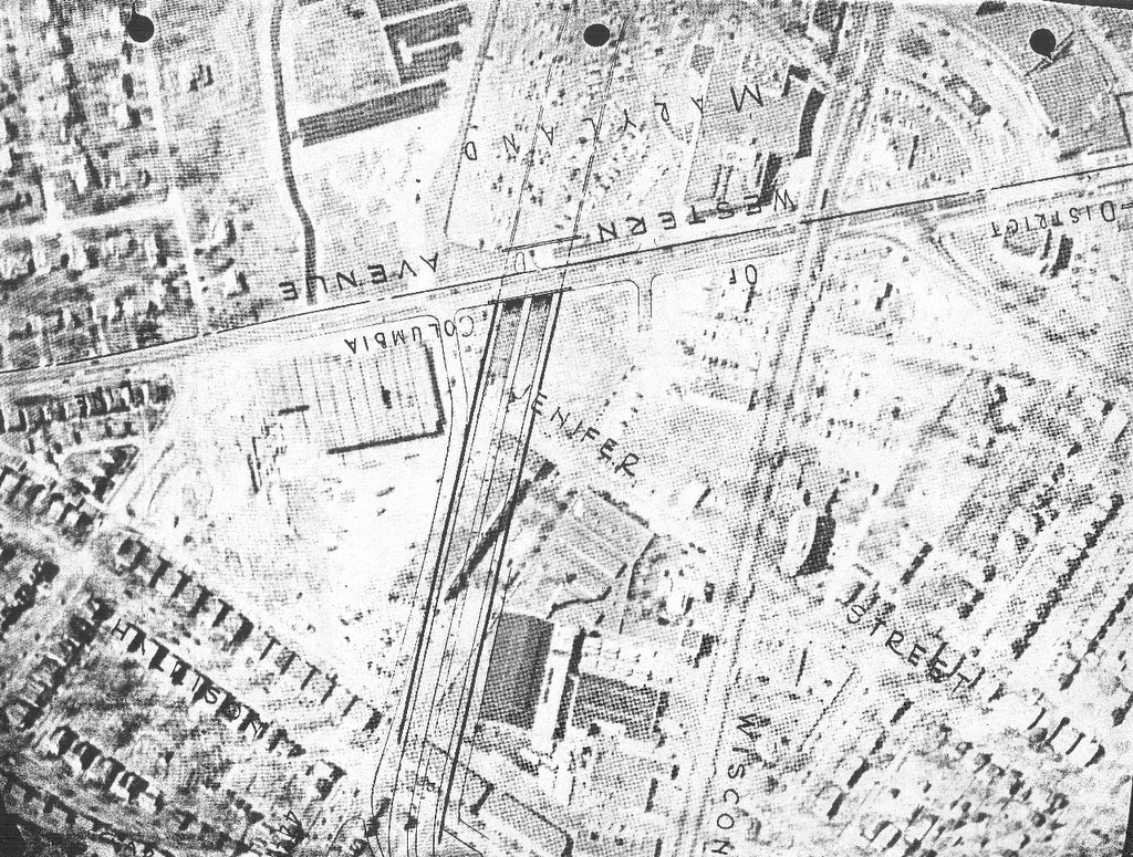
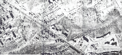
Because of opposition to a road through Archibald Glover Park open to trucks, this 1959 plan had I-70S continue via a separate spur known as the Cross Park Freeway. That would have turned due east, entering a set of 1,100’ long bored tunnels to avoid Fannie Mae and Sidwell Friends properties, to a depressed segment along Tilden Street at the north edge of the Cleveland Park neighborhood leading to another tunnel ,this one cut and cover to cross east of Connecticut Avenue.

These tunnels were a 1959 addition suggested by NCPC that July, to the previous proposal which had those segments as open deep trenches. This change would raise the estimated construction costs by $10 million (while replacing 6 planned lanes with only 4), and was advanced by NCPC Chairman William E. Finley as noise abatement for the nearby properties.
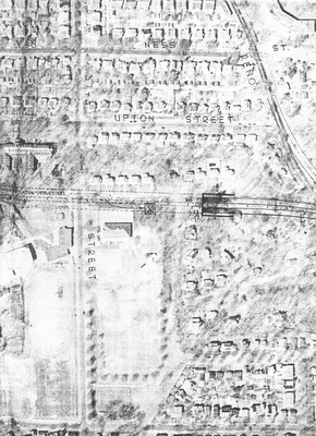
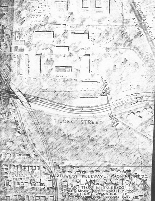
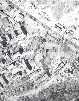
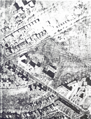
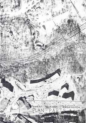
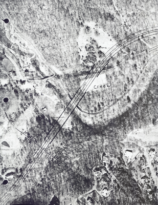
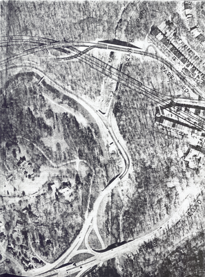
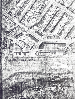


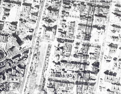
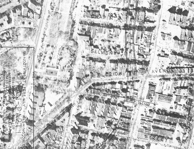
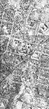


Wisconsin Avenue Corridor Segment
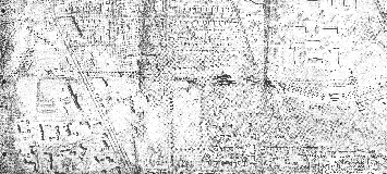
Bored Tunnel
Connecticut Avenue Tunnel
Rock Creek Park East and through the Mt. Pleasant neighborhood
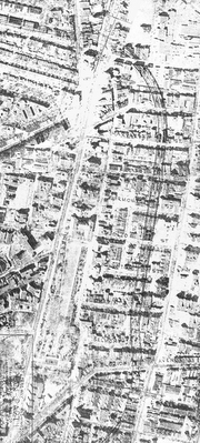
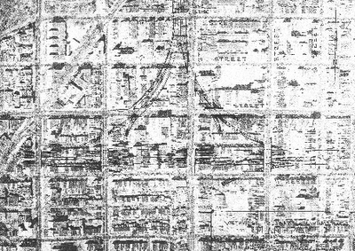
There, it would have continued as an open depressed freeway with no tunneled segments, turning south to parallel 14th Street NW to meet the I-66 North Leg of the Inner Loop just south of U Street NW.
1959 I-70S interchange with I-66 North Leg

The segment in DC to just south of Tenley Circle would have taken 64 dwellings. The segment of the Cross Park Freeway west of Rock Creek Park along the north edge of Cleveland Park would have taken perhaps 20.

east-west Cleveland Park segment- west of Rock Creek Park
dashed segments tunneled

The segment east of Rock Creek Park through Mt. Pleasant would have taken 100s. Perhaps over 1,000.

Mt. Pleasant segment- east of Rock Creek Park
non tunneled

No engineering studies were conducted by Maryland for the Bethesda segment, however at least half or more of downtown Bethesda got torn down and replaced with denser development as induced by the construction of the WMATA red line. Nor was any serious consideration ever given to coordinating this, nor with creating it as cut and cover nor drilled tunnel. Hence, Bethesda never even attempted to formally justify their unjustifiable decision to maintain a traffic disaster directly upon Wisconsin Avenue that was further exacerbated by the WMATA induced denser development: the public interest and the need for improved evacuation routes be damned!. However, some more progressive factions apparently did try reviving this much needed freeway during the mid 1960s as illustrated below.

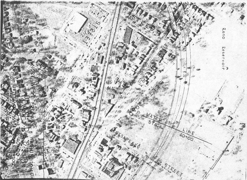
Bethesda proposal 1965


I-66 and I-70S Downtown Washington, D.C.
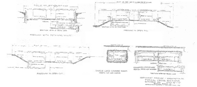
1959 I-70S Northwest Freeway Cross sections
along the northern edge of Cleveland Park
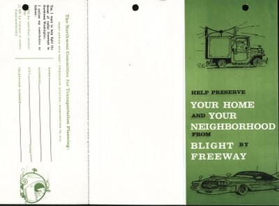

Although some 2/3rds of the Cleveland Park area route was tunnel, persons there got away with calling it a blight, even as the true injustice was primarily to the east of Rock Creek Park in the Mt. Pleasant area where the freeway was non tunneled