Showing posts with label evacuation route. Show all posts

Wednesday, November 02, 2011

Takoma, D.C. Death Trap Residential Development

"The zoning permits wood framed construction, reducing costs"


Post 2001 Washington, D.C. 'planning' for death trap residences of wood framed construction 'reducing costs' within rail-car derailment footprint, in total disregard of safety to chock this important transportation corridor.


Such de-railments along this corridor in 1976 and 1996 avoided mass loss of life because the dwellings were set back from the railroad, either via Blair Avenue, or a parking lot.

And to consider that these death trap developments, starting with Elevation 314 and Cedar crossing occurred after 911 with the lip service given towards transportation evacuation routes.

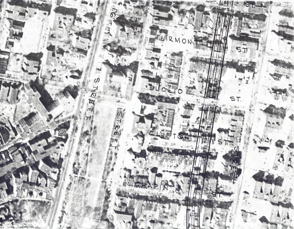
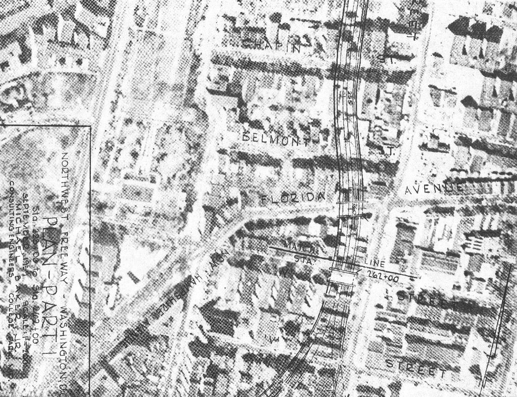
That would logically include this corridor -- the sole main north-south transportation corridor for what is said to be the Nation's Capital -- for the un-built and deceitfully de-maped North Central Freeway proposed by U.S. President John F. Kennedy, November 1, 1962, only to be botched by its initial engineering study - deviating from JFK's prescription for the freeway to tightly follow this existing railway - initiated at about the time of his assassination some 8 days after he personally inaugurated this freeway's Baltimore-Deleware segment.

More potential death trap 'transit oriented' development favored by WMATA:

http://wwwtripwithinthebeltway.blogspot.com/2011/08/forgotten-elephant-building-too-damn.html


Tuesday, February 03, 2009

What Obama Must Do For D.C. Transportation Security

Official planning to chock northern Washington, D.C.'s sole grade separated ground north south transportation corridor, subverting valuable evacuation route


Left: Brookland Metro station area today. Image from Google Maps. Right: Metro station sub-area plan. (from article within Greater Greater Washington)

Corridor Suitable for Cut and Cover Railway - Highway Tunnel, yet official planing sells out to real estate development

Chocks of the construction of the hugely useful North Central Freeway corridor, proposed by the Kennedy Administration in November 1962, but hugely botched with a 1964 engineering study that routed the highway needlessly through neighborhoods.


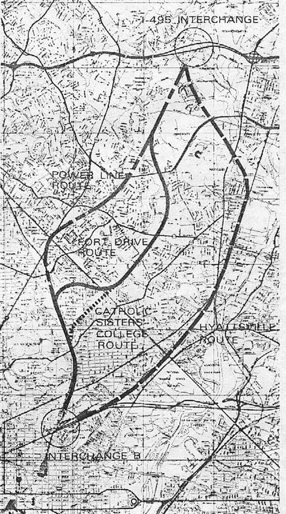
North Central B&O Metropolitan Branch RR corridor midway between Potomac and eastern Capital Beltway. (shown with I-95 Northeast Freeway via the Fort Drive - Northwest Branch Route).

1962 Kennedy Administration plan with WMATA and B&O Route North Central Freeway


1964 North Central Freeway engineering study deviates seriously from the 1962 Kennedy proposal, officials considered this until the late 1960s as a 'cheaper' alternative
to the 1962 concept featured in the
supplementary North Central Freeway study report of 1966


1971 North Central Freeway
with I-95 Northeast Freeway via the Fort Drive - Northwest Branch Route,
with cut and cover tunnel segment
from Rhode Island Avenue to north of Monroe Street NE
displacing 34 existing houses
with new development and parkland

My preference is for a new multi model transportation tunnel -- upgraded railways and new highway -- beneath a new linear urban park- the Washington, D.C. Grand Arc

Inside the Beltway I-95:
1971 PEPCO Power Line -B&O
1964-73 Northwest Branch Park - Fort Drive - B&O
1960 Northwest Branch Park - Catholic Sisters College - B&O

PEPCO-B&O offers greatest serviceability and least displacement
with greatest use of existing corridors.

Yet this is all often poorly reported.

Washington, D.C. FICTITIOUS I-95 Route

Brookland CUA Area Small Area Plan

Public Hearing Notice


Monday, August 11, 2008

Washington Gateway Chock

New Demolition Special to Complicate I-395 Tunnel Extension; builds upon remaining sliver of land adjacent to New York Avenue, forcing tunnel directly beneath existing Avenue as it rises to overpass railroad


Number "17"

Project is in immediate need of cancellation, for blocking the remaining sliver of land allowing construction of the I-395 tunnel extension alongside New York Avenue - particularly along the highly useful O Street axis.

Project chocks the I-395 extension whether to the (eastern) New York Avenue corridor or the (northern) B&O corridor.

Project also conflicts with lowering the B&O railroad and the idea of covering said railroad as done via the Grand Arc.

Project testifies to the sheer incompetence of D.C. planning and the degree the authorities are beholden to medievalists that would chock publicly valuable evacuation route, disregarding civil defense (while nonetheless embracing 1984-esque domestic surveillance).

Is scheduled to start construction autumn 2008.

I-395 Tunnel Extension Superior Option

MRP Reality
MRP Reality- Washington 'Gateway' Project

Monday, August 04, 2008

Evacuation Route To Be Demolished This Summer!!

U.S. DOT approves demolition of RFK Stadium Access Ramps
& Highway


From Jacqueline Dupree:
http://www.jdland.com/dc/index.cfm?id=2641

The FAQ mentions that the existing flyover ramps to and from RFK (the ones that head east over M Street) are supposed to be demolished "this summer", but I've been unable to get any details from DDOT as to whether that's still happening. I'm also not sure whether that's part of the bigger plan (not technically part of the bridge replacement project) to completely do away with the current below-grade freeway to Pennsylvania Avenue and replace it with "Southeast Freeway Boulevard", running at-grade from 11th Street eastward. (Read the EIS for more on that.)
How much is it going to cost? The ROD says that a cost review meeting in December "indicated that the estimate was consistent with an 80th percentile probability that the year-of-expenditure project cost would not exceed 465 million dollars." Those of you well versed in bureaucracy-speak can translate that as necessary.
http://www.11thstreetbridgeseis.com/reports.asp?DocGroupID=10033
http://www.11thstreetbridgeseis.com/

Thursday, July 17, 2008

A New I-395 Gateway- If It's Coordinated With New Development

A big "if" ...

New 14th Street Bridges
with tunneled vehicular connections to 14th Street and I-395


New I-395 tunnel segment to come with replacement of the existing 14th Street Bridges. Employs virtually the same alignment that I have proposed, though with a somewhat sharper curved transition to the existing SW Freeway then necessary.

Idea of revised ramp connections to 9th Street appears to require demolition of existing building at L'Enfant Plaza, which is consistent with desire to remove the "brutalist" 1960s-70s era architecture, and which would likely be eased by removal of the row of 28 townhouses that were irresponsibly placed only 16 1/2 feet from the existing SW Freeway retaining wall in 1999-2000 as the northern edge of the "Capital Square" residential project by EYI Associates between 0th and 7th Streets. With this occurring within sight of the headquarters of the U.S. Department of Housing and Urban Development and the U.S. Department of Transportation, why did not these agencies object?

Beyond the sharper curved transition to the existing SW Freeway alignment, this NCPC plan differs from my conceptualization by lacking a split to a supplemental I-395 tunnel beneath G Street SW to ease constructibility (e.g. routing traffic- particularly during constructing the new connection to the existing SE Freeway alignment at 7th Street SW), while permanently providing additional capacity with a gentler curved connection to the north-south Center Leg (3rd Street Tunnel): easing a traffic bottleneck that customarily extends into Virginia.

The surface treatment differs with its lack of an extension of G Street SW towards the Jefferson Memorial providing some additional landfill to more integrate the area, and of a traffic circle at the 14th Street location of the I-395 tunnel portal. As I envision it, this new bridge/tunnel segment would be located on the extended axis of Louisiana Avenue.

This proposal also includes a new more literal "14th Street" Bridge -- together with the above mentioned new I-395 bridge -- crossing the Potomac River, with both having tunneled segment respectively to 14h Street and the SW Freeway. It also includes burying the railroad, preserving the existing railroad corridor but at a lower elevation accommodating a newly restored Maryland Avenue.


New development proposal by Hoffman-Struever Waterfront LLC

http://www.swdcwaterfront.com/

Yet will the authorities be able to control themselves to preserve the necessary easement for the new segment of tunneled I-395?

Or shall they place buildings directly in the path?

Boondoggles as "Capital Square", the "Golden Rule" apartment house, and a bit of the rush of development along the South Capitol Street corridor suggest the latter.

Final Approval for DC financing of Waterfront passed- SWDC Blog

A busy day for NCPC- Greater Greater Washington

National Capital Framework Plan- Continuing The Legacy


Sunday, July 06, 2008

Parochialist Planning Sells Out Valuably Useful D.C. North Central Transport Corridor

- Chocks Washington, D.C.'s sole norther north-south transport corridor;
- Sells out public need for a bit more real estate development;
- A
ltogether disregards post 911 security/evacuation route in a general planning that has disregarded civil defense
- Promoted by the government and Catholic University of America

http://www.metbranchtrail.com/Documents/5DraftChapter5.pdf
(warning PDF!)

http://wwwtripwithinthebeltway.blogspot.com/2008/05/cuabrookland-transport-corridor-chock.html

Note the placement of the North Central corridor about midway between the eastern portion of the Capital Beltway and the Potomac River. Is shown here with the I-95 Northeastern Freeway via the Northwest Branch Park route.


Wednesday, January 09, 2008

Physical Realities: Undermining the North Central Freeway


From a recent post to the Transport-Policy Group <transport-policy@yahoogroups.com>; American Dream Group <PreservingtheAmericanDream@yahoogroups.com> regarding Maryland's Intercounty Connector:
Georgetown University is long involved with stopping highways.

Note the physical location of its mother campus at the foot of Glover Archibold Park (where the 3 Sisters Bridge would have roughly landed), and also their law school next to the Center Leg.

Also note Catholic University of America's proximity to the B&O North Central corridor; their official position was neutral (with no information on a position of building it as a tunnel), with my observations being that the Jesuit's are very anti (and it's the Jesuit Order that directs Georgetown), see

http://wwwtripwithinthebeltway.blogspot.com/2007/02/sampling-of-attitudes-towards-dc-i-95.html

The NCF was botched 3 times after J.F.K.'s 1962 B&O proposal:

- 1st with the 1964 deviation through Takoma Park for a longer route increasing the house displacement in that area from about 30 to 471,

- then in 1966 with the comparatively minor routing through a piece of Fort Totten Park,

- and then the 1971 plan's displacement of the Cady Lee mansion.

All of these botches introduced a new objection that was absent in the preceeding plans, and all with the political effect of in flaming opposition to an freeway anywhere near that corridor.


The alliance of Georgetown and Covington and Burling pops up frequently throughout the history.

---


----- Original Message ----
From: C.Patrick Zilliacus <CPZ@OS2BBS.COM>
To: Transport-Policy Group <transport-policy@yahoogroups.com>; American Dream Group <PreservingtheAmericanDream@yahoogroups.com>
Sent: Monday, January 7, 2008 10:46:02 PM
Subject: [PreservingtheAmericanDream] Re: Md.: Environmental Groups Appeal Ruling on ICC

--- In transport-policy@ yahoogroups. com, Douglas Willinger wrote:
>
> Any word on the entities involved, including the law firms?

I presume that they will use Georgetown University's pro-bono
( http://www.law. georgetown. edu/clinics/ ipr/ ) legal help again.

You can read more about what they did at the link below (scroll down several screens): http://www.law. georgetown. edu/clinics/ ipr/environmenta l.html

In the past, Sidley and Austin ( http://www.sidley. com/ ) has also provided pro-bono advice to groups opposed to the ICC. I don't know if they have been involved the actual litigation, however.

Nor do I know if Covington and Burling ( http://www.cov. com/ ), so deeply involved in getting D.C. highway projects canceled in the 1960's and 1970's, has any involvement in the ICC. __._,_.___


The JFK Administration's
Original "Y" alignment B&O Route North Central Freeway


Tuesday, November 27, 2007

I-395 Extension: A Superior Option

officially un-considered Dunbar - O Street Tunnel
for extending I-395 (I-95) in Washington, D.C. near N.Y. Avenue

Washington, D.C. I-395 options

Dunbar - O Street (yellow and green double deck tunnel)
approx. 1,300 foot radii; 34 dwellings displaced
1971 design
approx. 800 foot radii; 600+ dwellings displaced
1996 design
approx. 300 foot radii; 0 dwellings displaced

Currently truncated I-395 Center Leg at New York Avenue

Images produced by National Capital Planning Commission for the Washington Geographic Information System. Distributed by VARGIS LLC of Herndon, VA.

Note the convenient placement of Dunbar HS, creating a clear area of its recreation field to arc a tunnel to run beneath O Street.

I came up with this idea myself; however I must wonder if this idea came to the designers of the current Dunbar HS.


Saturday, November 10, 2007

WMATA Takoma Station Transportation Treason and Criminal Malfeasance

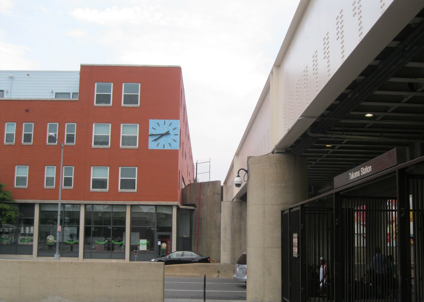
Train wreck in Washington, D.C. SE, one day after WMATA's 5-0 unanimous (and near discussion-free) decision to continue to chock the North Central Red Line corridor, underscores subversion of evacuation corridor preservation in the name of providing "transit friendly"development or a "new urbanism" better descried as a "new medievalism."

Go to Takoma Station today and look at the proximity of the "Cedar Crossing" and "Elevation 314" residential projects built after 2001 (and after I took these photos), and envision such a derailment. Also recall that two previous derailments along that RR corridor in 1976 and 1996 had greater setbacks between the RR and anyone's home, respectively Blair Road and a parking lot, giving at least 50 feet. At least one wing of Cedar Crossing, and most of Elevation 314 fall within such a derailment footprint.

Where's the U.S. Department of Transportation on this potential safety risk?

Where's the U.S. Department of Homeland Security on evacuation corridor preservation?

Interesting how such decisions are usually unanimous with little or no debate.

Railcars Fall From Bridge into Anacostia River- The Washington Post Nov 10
Metro Board Approves Project at Takoma Station- The Washington Post Nov 9

Saturday, September 08, 2007

A Washington, D.C. Big Dig

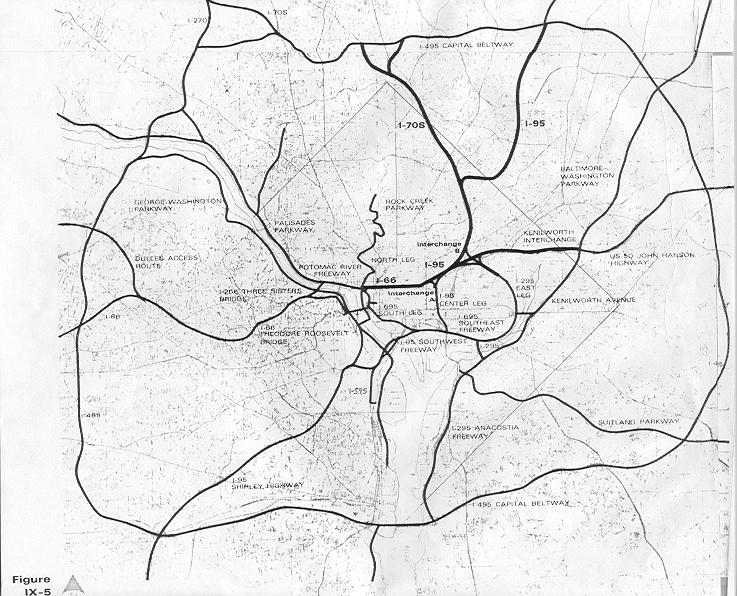
Construct a downtown underground Inner Loop with southern, eastern and northern spurs

Purpose

Provide for a more comprehensive transportation network within existing urban area

Serve security with additional evacuation routes.

Provide full downtown Inner Loop “hub” feed by radial spokes serving the southwest to northeast, southern, eastern, northern, and western compass coordinates.

Design Principles

Use existing corridors and rights of ways with minimal displacement

Use underground design.

Maximize the benefit- flexibility in design allowing future additions

Staged Construction phases to finish one component for use before addressing another corridor (IOW avoid simultaneously construction on two parallel corridors).

Be integrated with classical Washington, D.C. planning, extending the legacy of the L’Enfant and McMillan plans, with roadways beneath new landscaped promenades improving local pedestrian accessibility, such as along the Anacostia River and replacing the existing divisive surface and elevated railways now trisecting NE with the Grand Arc Mall Tunnel.

Project would:

- replace the 14th Street Bridges.

- reconstruct the SW/SE Freeway underground from portal in vicinity of 14th Street SW, with c/d lanes for I-395 beneath G Street SW and 2nd and 3rd Streets SW/NW, extended to the northeast via tunnel with segment under O Street NW/NE to vicinity of railroad junction interchange

- construct the East Leg to RFK-East Capitol Street and then to the northwest as covered tunnel

- construct the I-66 K Street Tunnel with western and eastern approaches respectively beneath Pennsylvania and New York Avenues, with a Whitehurst Bypass Tunnel connecting to a Canal Road Parkway and a Three Sisters Tunnel to Virginia I-66.

- construct the proposed Kennedy Center lid with underground revisions that do not negatively impact operation ability

- construct a South Capitol Street tunnel connecting I-295 and I-395

- construct a New York Avenue NE tunnel along the railroad corridor, beneath a new landscaped lid alongside new development towards Maryland Route 50 via continuous freeway either via existing New York Avenue right of way as shown in recent DCDOT planning, or along the railroad.

- construct a WMATA Red Line/B&O Metropolitan Branch multi-model transportation tunnel lowering the existing railroads with additional capacity, with a new underground highway from New York Avenue northwards with a split at New Hampshire Avenue for a PEPCO continuation in Maryland to I-95, with the railway/highway tunnel continuing north, northwesterly to the Capital Beltway, with downtown Silver Spring and Takoma heavy rail in a new bored tunnel, and with the Red Line partially in cut and cover tunnel and partially along existing surface segments, notably the historic art deco George Avenue overpass. This serves as the foundation of a new landscaped lid that would extend southwards towards and architecturally integrated with the back side of Union Station, and extending northerly through the Brookland/Catholic University of America and Takoma areas: the Grand Arc Mall Tunnel.

Differences from earlier designs:

SW/SE Freeway fully depressed and buried, with c/d lanes for I-395 SW Freeway- Center Leg Tunnel and extension.

North Leg Re-Routed to minimize displacement of the vanguard of historic DC neighborhoods, while improving operationability, with routing shifting the eastern approach to the I-66 K Street directly under New York Avenue, as well as keeping I-66 and I-95/I-395 in separate tunnels until a point further east near the railroad junction. This latter tunnel (illustration below) would arc northeasterly beneath the intersection of New Jersey Avenue and N Street NW and the recreation field of Dunbar H.S., transitioning to a two level configuration beneath O Street before turning to follow New York Avenue. This reduces displacement from the 1971 design by some 95%, from 148 and 600+ respectively for the I-66 and I-95/I-395 North Leg segments, to only 34, while providing the gentlest turning radii of any plan over the 1971 plan and the 1996 plan which displaces 0 but has the sharpest turning radii wrapping around the back side of the Bibleway Church complex. This would be far less disruptive to maintaining traffic flow during construction then the 1996 plan.


East Leg primarily covered as tunnelway with waterfront segment beneath new pedestrian terrace, and “orb” interchange at East Capitol Street, with design including c/d lanes.

North Leg West interchange placed underground beneath new landscaped terrace-staircase to Rock Creek Park.

I-66 West Leg Deck with highway grade lowered and new parallel western carriageway.

I-395 Red Line/B&O Metropolitan Branch multi-model transportation tunnel “B&O Route”, Grand Arc Mall Tunnel, would place the railroad and the new highway beneath a new linear park that extends southward to Union Station, reducing the dwelling displacement in Brookland, D.C. from 34 (1970 revised plan) to about 14, with the southbound lanes in cut and cover along western side of railroad corridor, such as along the eastern side of 8th Street, with portal just south of Franklin Street. This would afford perhaps the most spectacular view through the windshield anywhere along I-95 if not the entire U.S. interstate system.

I-395 New Hampshire Avenue via full tunnel beneath field of the Masonic Order of the Eastern Star Home to new traffic circle at D.C./Maryland line.

Preliminary Staging:

1 Establish I-395 bypass tunnel along SW Freeway and Center Leg easterly to Maryland 50:

Downtown Route: underground C/D carriageways for SW Freeway – Center Leg respectively beneath G Street SW and 2nd and 3rd Streets SW/NW, with extension to northeast to interchange NE, plus the New York Avenue East connection to Route 50, the South Capitol Street Tunnel, and the extension from the SE Freeway at the Barney Circle Underpasses/waterfront terrace to East Capital Street.

2 Establish an east west cross town bypass tunnel connecting the Whitehurst Freeway and I-66 with Maryland Route 50 and East Capitol Street:

Northern East-West Route (North Leg): Pennsylvania Avenue/K Street Tunnel/New York Avenue Tunnel and Mt Olivett Road Tunnel to East Capitol Street, with improvements of added westerly carriageway, with grade lowering beneath a version of the urban deck design promoted as part of the Kennedy Center Access Project, connecting to a widened Theodore Roosevelt Memorial Bridge.

Complete the Canal Road Parkway to vicinity of Foxhall Road.

Construct a Whitehurst Bypass Tunnel with a split to a Three Sisters Tunnel to I-66 in Virginia, and to the Canal Road Parkway. The area of the connections at the foot of Glover-Archibold Park and Georgetown University should be the object of a design competition.

3 Establish the SW/NE Gateways:

Reconstruct I-395 from Virginia upon new monumentally styled twin spans centered on the Louisiana Avenue axis going underground at a new traffic circle at 14th Street SW, with construction made easier with traffic diverted onto the already constructed new c/d carriageways

Construct the Grand Arc Mall Tunnel with the New Hampshire Avenue Tunnel spur connecting to the Maryland PEPCO extension to I-95

4 Fix that suburban east-west link:

Reconstruct the I-495 Capital Beltway with additional capacity for the I-270 connections largely buried beneath land that becomes part of Rock Creek Park, starting with its new carriageway just south of the existing Beltway

An option would be to supplement this with a largely deep moled tunnel for a Wisconsin Avenue corridor link

Cost Guess: $25 billion over 15 years
Stage able design would allow some defer ability flexibility.

Cut and cover tunnel construction disruptions to traffic would be minimized via top down construction, that is, construct a new surface roadway first and then excavate and finish the tunnel beneath. This could bring the time of the surface disruption to about that established planning groups would tolerate for such streetscape projects as the K Street transitway.

Volvo's Subliminal Message for Takoma Park
Grand Arc Mall Tunnel


Answering A Critic


Friday, December 01, 2006

1959 Northwest Freeway

I-70S at Friendship Heights, at the Maryland-District line

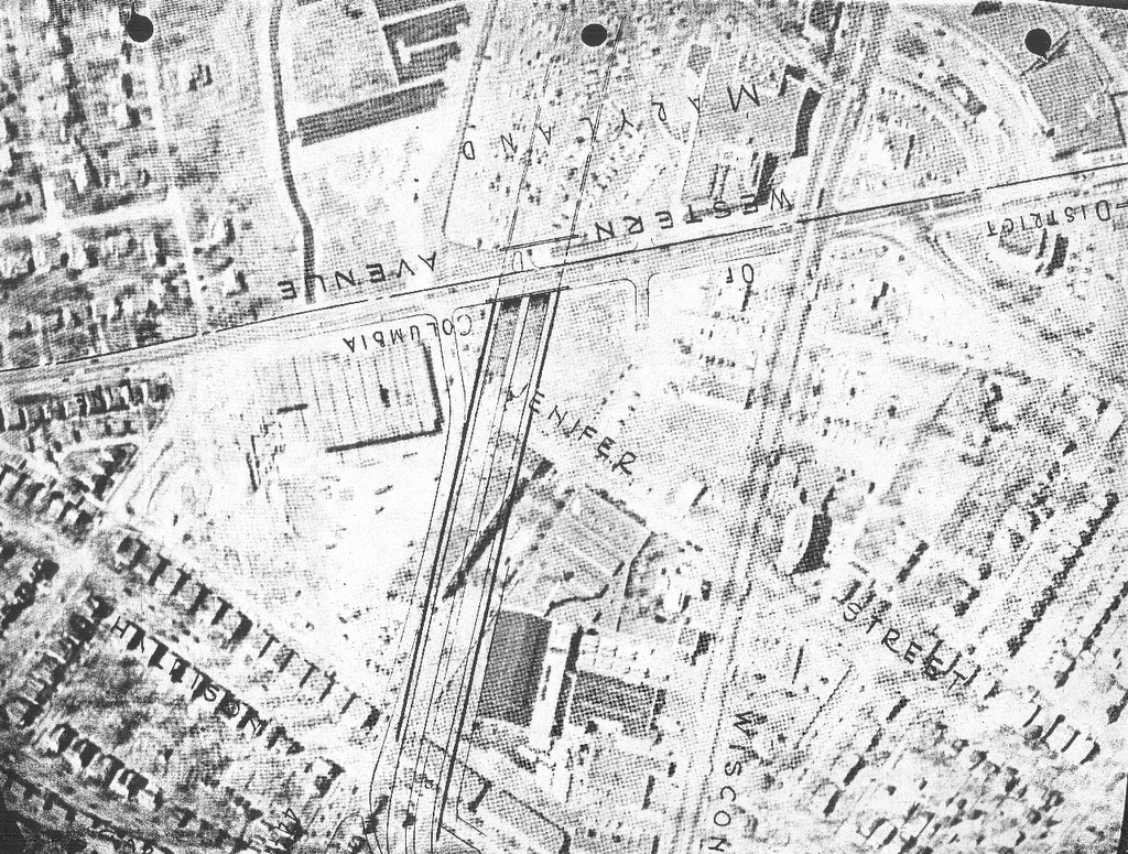
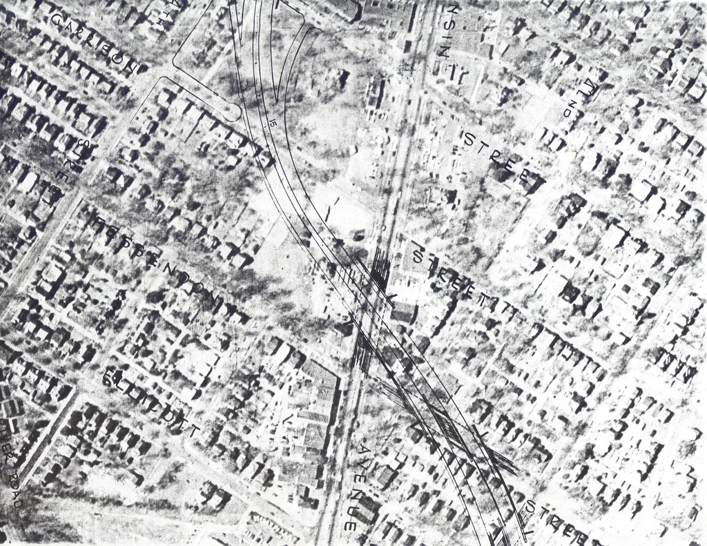
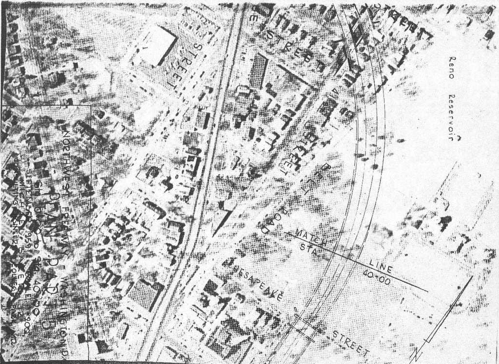
This was originally the left hand northern radial, west of the North and Northeast Freeways, appearing in the 1959 Mass Transportation Plan. It was to serve as the south or inside the Beltway extension of I-70S (today’s I-270) from its eastern spur’s connection with the Beltway at Pooks Hill, paralleling Wisconsin Avenue through downtown Bethesda, Maryland to Friendship Heights at the Maryland-District of Columbia line.

It would run about 500 west parallel to Wisconsin Avenue before crossing to its east at Fessington Street before turning south (today’s WMATA parking lot outlines a portion of this route) into a tunneled underpass beneath Tenley Circle.

Northern Wisconsin Avenue Corridor

The Tenley Circle Tunnel was proposed earlier as a segment of the Fort Drive Parkway (Intermediate Loop, that would have continued south through Archibald-Glover Park to the Georgetown waterfront to continue with an expanded Whitehurst Freeway facility).

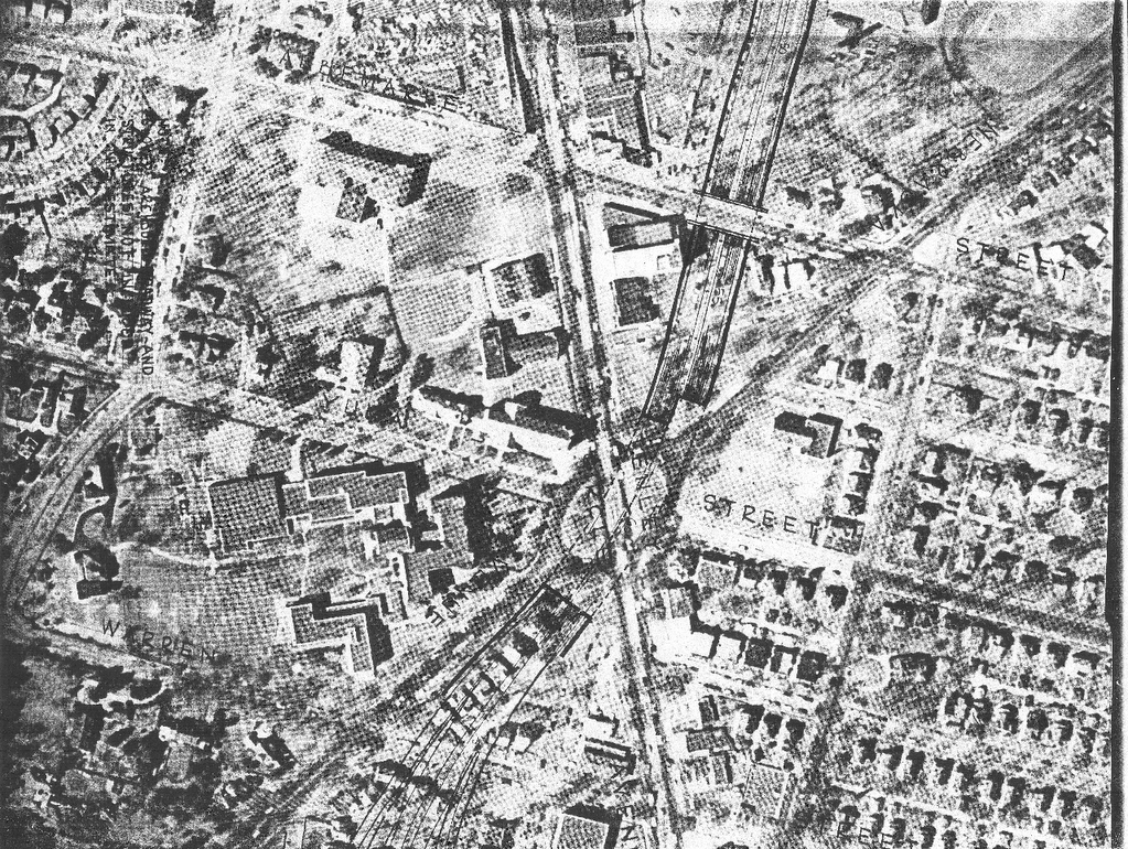
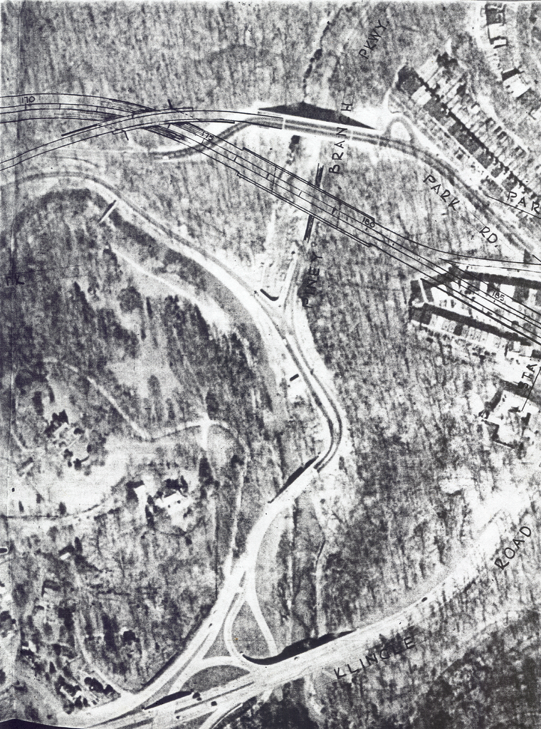
Because of opposition to a road through Archibald Glover Park open to trucks, this 1959 plan had I-70S continue via a separate spur known as the Cross Park Freeway. That would have turned due east, entering a set of 1,100’ long bored tunnels to avoid Fannie Mae and Sidwell Friends properties, to a depressed segment along Tilden Street at the north edge of the Cleveland Park neighborhood leading to another tunnel ,this one cut and cover to cross east of Connecticut Avenue.

These tunnels were a 1959 addition suggested by NCPC that July, to the previous proposal which had those segments as open deep trenches. This change would raise the estimated construction costs by $10 million (while replacing 6 planned lanes with only 4), and was advanced by NCPC Chairman William E. Finley as noise abatement for the nearby properties.


Wisconsin Avenue Corridor Segment

Bored Tunnel

Connecticut Avenue Tunnel

Rock Creek Park East and through the Mt. Pleasant neighborhood

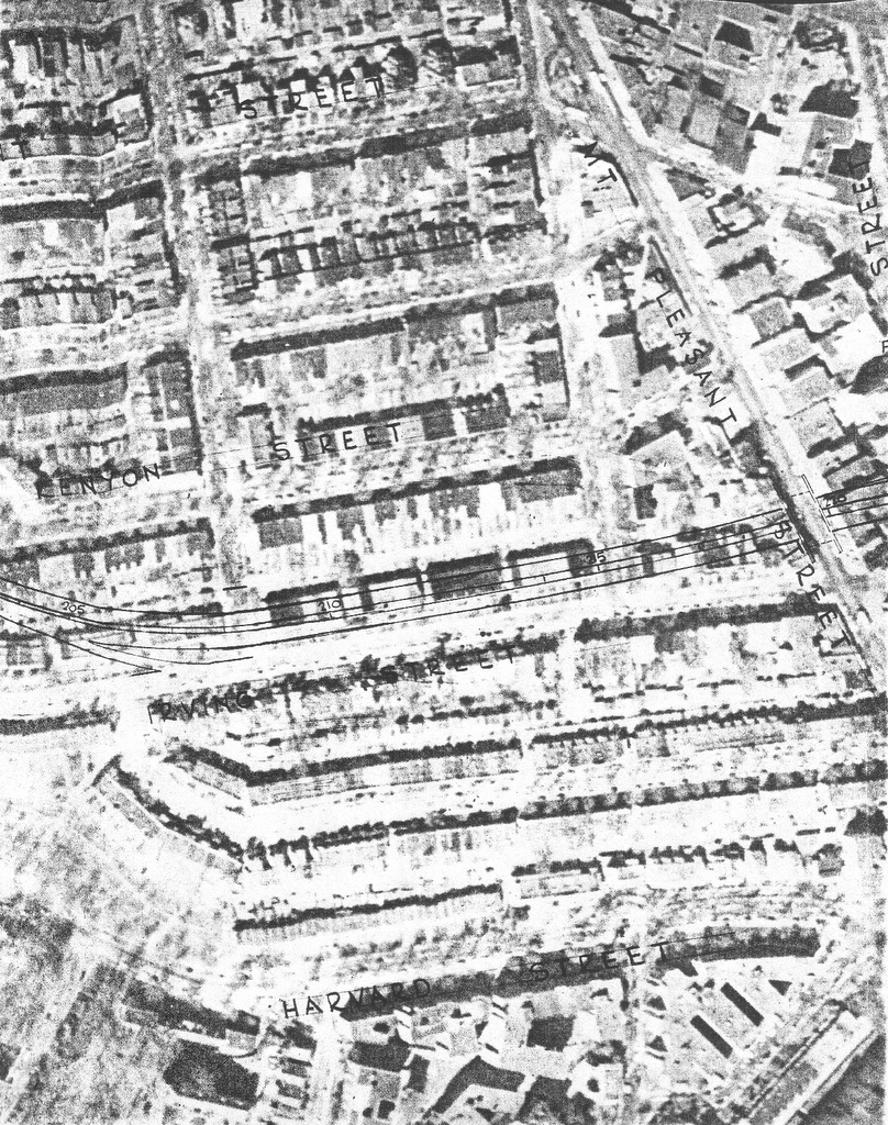
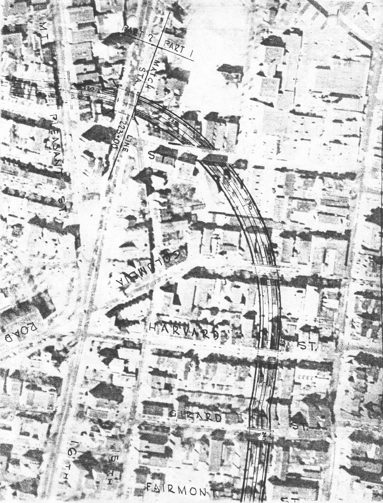
There, it would have continued as an open depressed freeway with no tunneled segments, turning south to parallel 14th Street NW to meet the I-66 North Leg of the Inner Loop just south of U Street NW.

1959 I-70S interchange with I-66 North Leg

The segment in DC to just south of Tenley Circle would have taken 64 dwellings. The segment of the Cross Park Freeway west of Rock Creek Park along the north edge of Cleveland Park would have taken perhaps 20.

east-west Cleveland Park segment- west of Rock Creek Park
dashed segments tunneled

The segment east of Rock Creek Park through Mt. Pleasant would have taken 100s. Perhaps over 1,000.

Mt. Pleasant segment- east of Rock Creek Park
non tunneled

No engineering studies were conducted by Maryland for the Bethesda segment, however at least half or more of downtown Bethesda got torn down and replaced with denser development as induced by the construction of the WMATA red line. Nor was any serious consideration ever given to coordinating this, nor with creating it as cut and cover nor drilled tunnel. Hence, Bethesda never even attempted to formally justify their unjustifiable decision to maintain a traffic disaster directly upon Wisconsin Avenue that was further exacerbated by the WMATA induced denser development: the public interest and the need for improved evacuation routes be damned!. However, some more progressive factions apparently did try reviving this much needed freeway during the mid 1960s as illustrated below.

Bethesda proposal 1965


I-66 and I-70S Downtown Washington, D.C.

1959 I-70S Northwest Freeway Cross sections
along the northern edge of Cleveland Park


Although some 2/3rds of the Cleveland Park area route was tunnel, persons there got away with calling it a blight, even as the true injustice was primarily to the east of Rock Creek Park in the Mt. Pleasant area where the freeway was non tunneled