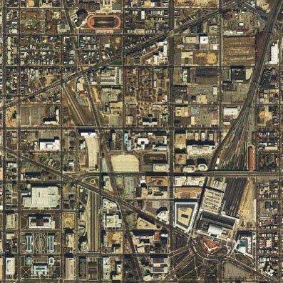
for extending I-395 (I-95) in Washington, D.C. near N.Y. Avenue
 Washington, D.C. I-395 options
Dunbar - O Street (yellow and green double deck tunnel)
approx. 1,300 foot radii; 34 dwellings displaced
1971 design
approx. 800 foot radii; 600+ dwellings displaced
1996 design
approx. 300 foot radii; 0 dwellings displaced
 Currently truncated I-395 Center Leg at New York Avenue
Images produced by National Capital Planning Commission for the Washington Geographic Information System. Distributed by VARGIS LLC of Herndon, VA.
Note the convenient placement of Dunbar HS, creating a clear area of its recreation field to arc a tunnel to run beneath O Street.
I came up with this idea myself; however I must wonder if this idea came to the designers of the current Dunbar HS.
I came up with this idea myself; however I must wonder if this idea came to the designers of the current Dunbar HS.


1 comment:
If the number was 34, it is now 33:
http://lifein.mvsna.org/index.cfm/2010/1/5/Another-One-Bites-the-Dust
Post a Comment