 Kenilworth Avenue Corridor Study
http://www.ddot.dc.gov/ddot/cwp/view,a,1249,q,620630.asp
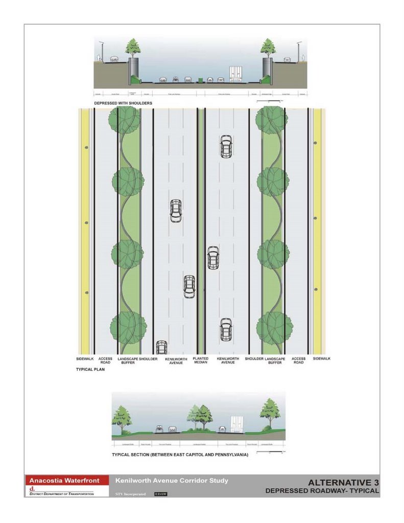
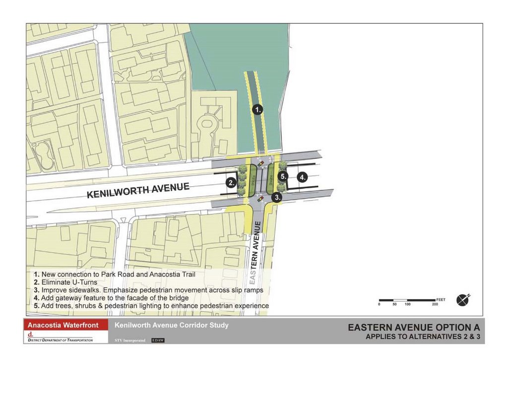

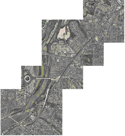
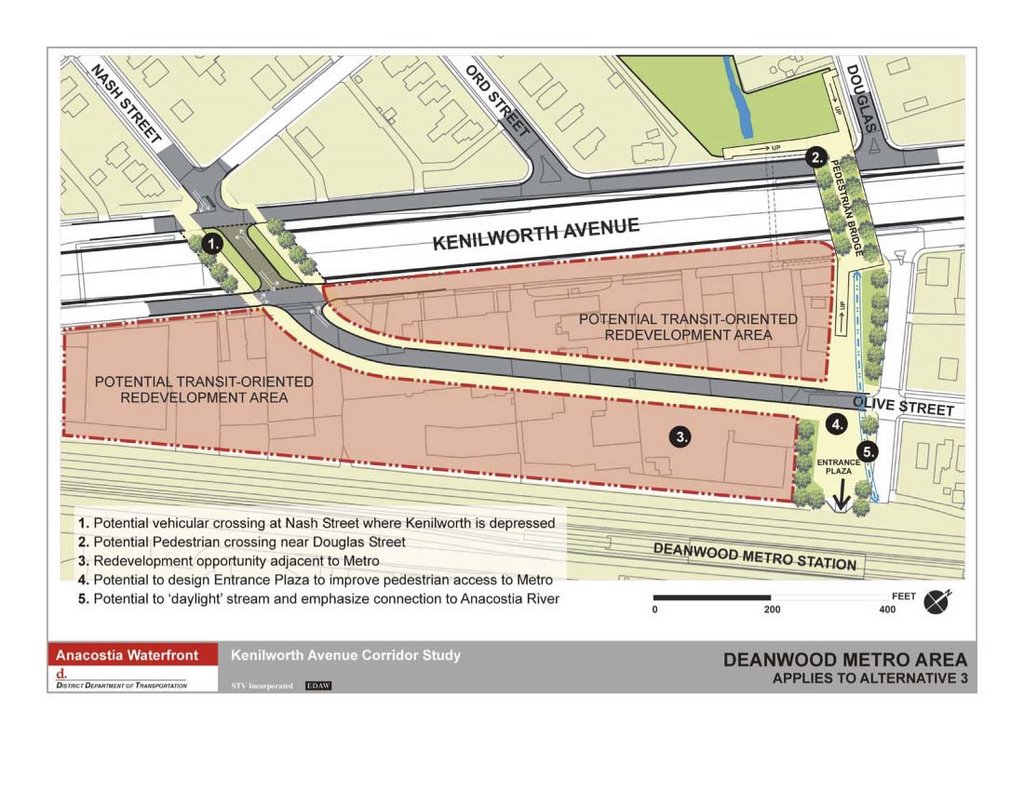 Alternative #3, a 6 lane depressed freeway increasing overall connectivity is one of three options considered by the Kenilworth Avenue Corridor Study. Although this includes short covered segments at Eastern Avenue and Douglas and Nash Streets, it fails to include options for extending these freeway "lids" into a longer cut and cover tunnel to maximize overall connectivity.
The other options are #2 for a surface freeway decreasing local connectivity, and #1 for a surface boulevard (with traffic lights) maximizing pedestrian-vehicular conflict.


No comments:
Post a Comment