 The north-south I-95 Center Leg (today's I-395 3rd Street Tunnel)
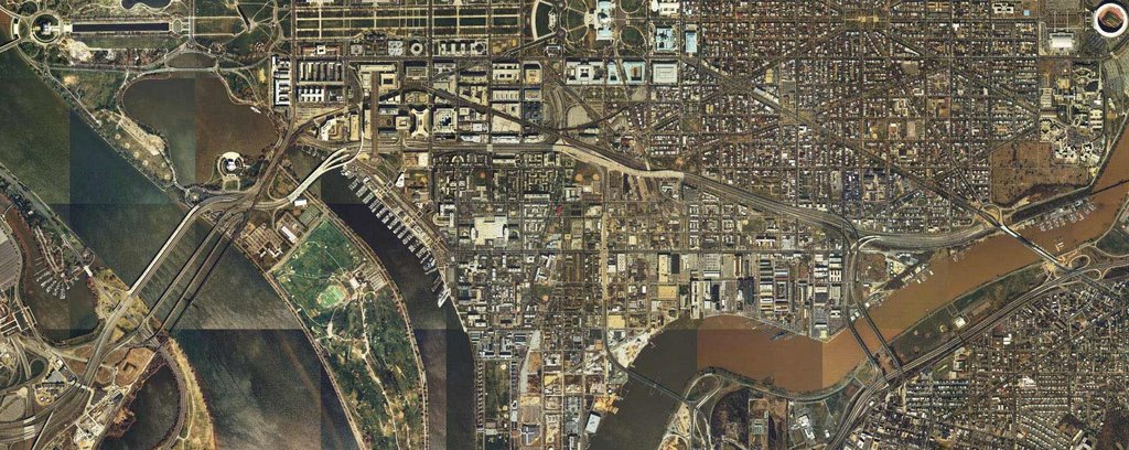
The east-west I-95/I-695 SW/SE Freeway
Image produced by National Capital Planning Commission for the Washington Geographic Information System. Distributed by VARGIS LLC of Herndon, VA.


No comments:
Post a Comment