
East Leg
 East Leg North Mt. Olivet Road NE Tunnel
DeLeuw, Cather, with Harry Weese "District of Columbia Interstate System"
November 1971
November 1971
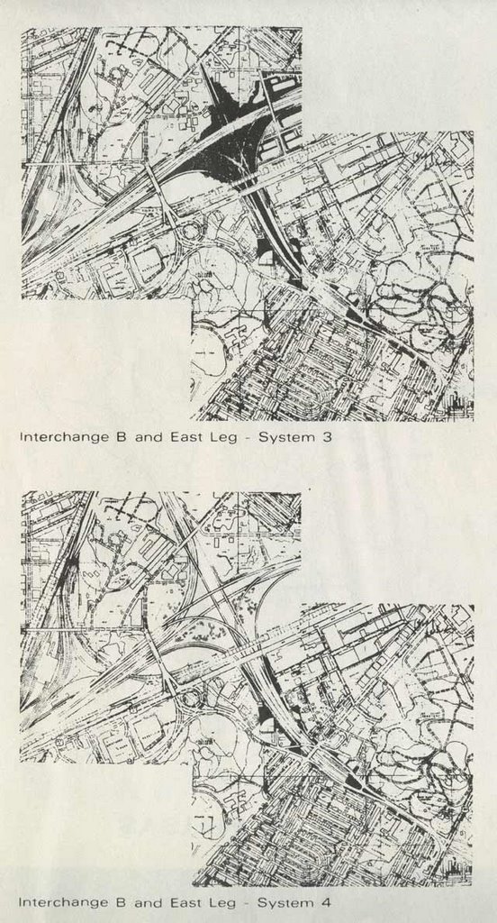 East Leg North Options
DeLeuw, Cather, with Harry Weese "District of Columbia Interstate System"
November 1971
 DeLeuw, Cather, with Harry Weese "District of Columbia Interstate System"
November 1971
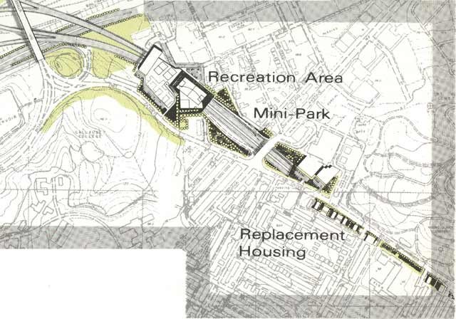
 The East Leg to East Capitol Street appeared about 1963 in response to public opposition to the preceding East Leg route proposals along 11th Street NE/SE that appeared in the 1955 Inner Loop Study. To see this earlier East Leg route, see plates 5 and 6 at 1955-62 Plans. Today's 11th Street Bridges in effect are the southern extension of this un-built north-south cross-town land route.
 1961
1961 1955
1955

1955
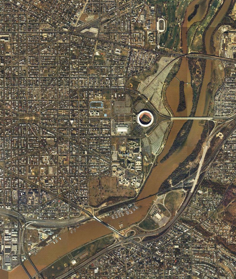 Image produced by National Capital Planning Commission for the Washington Geographic Information System. Distributed by VARGIS LLC of Herndon, VA.
The East Leg to East Capitol Street would have included an interchange with the East Capitol Street Whitney Young Memorial Bridge. From there it would have continued south, roughly paralleling the western side of the Anacostia River to turn east to connect directly with the SE Freeway underpasses beneath Barney Circle.


No comments:
Post a Comment